Terms like history, heritages and monuments are synonymous to Gujarat. The glorious Gujarat is home to many ancient city ruins, palaces, forts and tomb, which stands proudly bearing testimony to the golden era of dynasties. Since its inception, landscapes of Gujarat are ruled by rulers of many dynasties, invaders and sellers. Gujarat’s past is a part of its current terrains, evidenced by the ancient and historical ruins scattered across the country. In Gujarat, one can see the massive forts, charmings havelis, stunning stepwells and many other historical sites that showcase some of the relics of the land.
Fort
2. Uparkot FortJunagadh
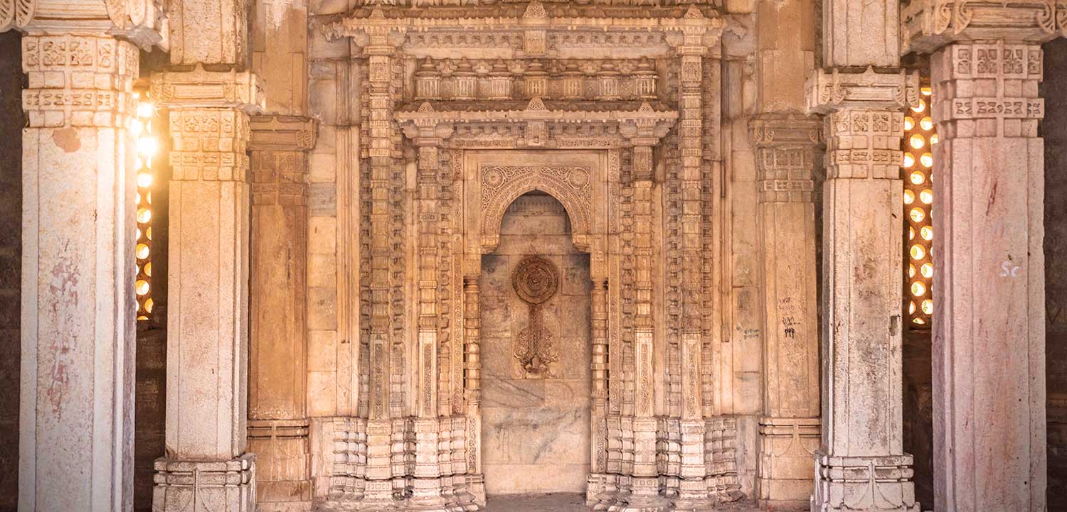
About the location: This ancient fort is believed to have been built in 319 BC by the Mauryan emperor Chandragupta, though it has been extended many times. In places, the ramparts reach 20m high. It’s been besieged 16 times, and legend has it that the fort once withstood a 12-year siege. The views over the city and east to Girnar Hill are superb, and within its walls, there is a magnificent former mosque, a set of millennia-old Buddhist caves and two fine step-wells. The fort has two fine step-wells both cut from solid rock. The circular, 41m-deep Adi Kadi Vav was cut in the 15th century and named after two slave girls who used to fetch water from it. Navghan Kuvo, 52m deep and designed to help withstand sieges, is almost 1000 years old and its magnificent staircase spirals around the well shaft. Look for the centuries-old dovecotes.
Brief History: Said to have been built in 319 BC, the fort was the architectural work of Chandragupta. But the fort changed many hands. Remnants of different rulers can be seen in some parts of the structure. For example, on the rampart above the gate is an inscription of Mandalika III, dated 1450. Another emblem is in the form of a 10 inch bore cannon of bell-metal – 17 feet long and 4 feet 8-inch round at the mouth. This gun was brought from Diu, where it was left by the Ottoman Turks when they were defeated in the Siege of Diu in the mid-16th century.
Best time to visit: The best time to visit is between November and February.
Disclaimer: The details presented above are intended solely for informational purposes and facilitation of the tourists. Timings and other details may be subject to change based on on-site conditions and local compulsions, which could be determined by local sources/ authorities/ administration of that particular destination.
2. Bhujiyo KothoJamnagar
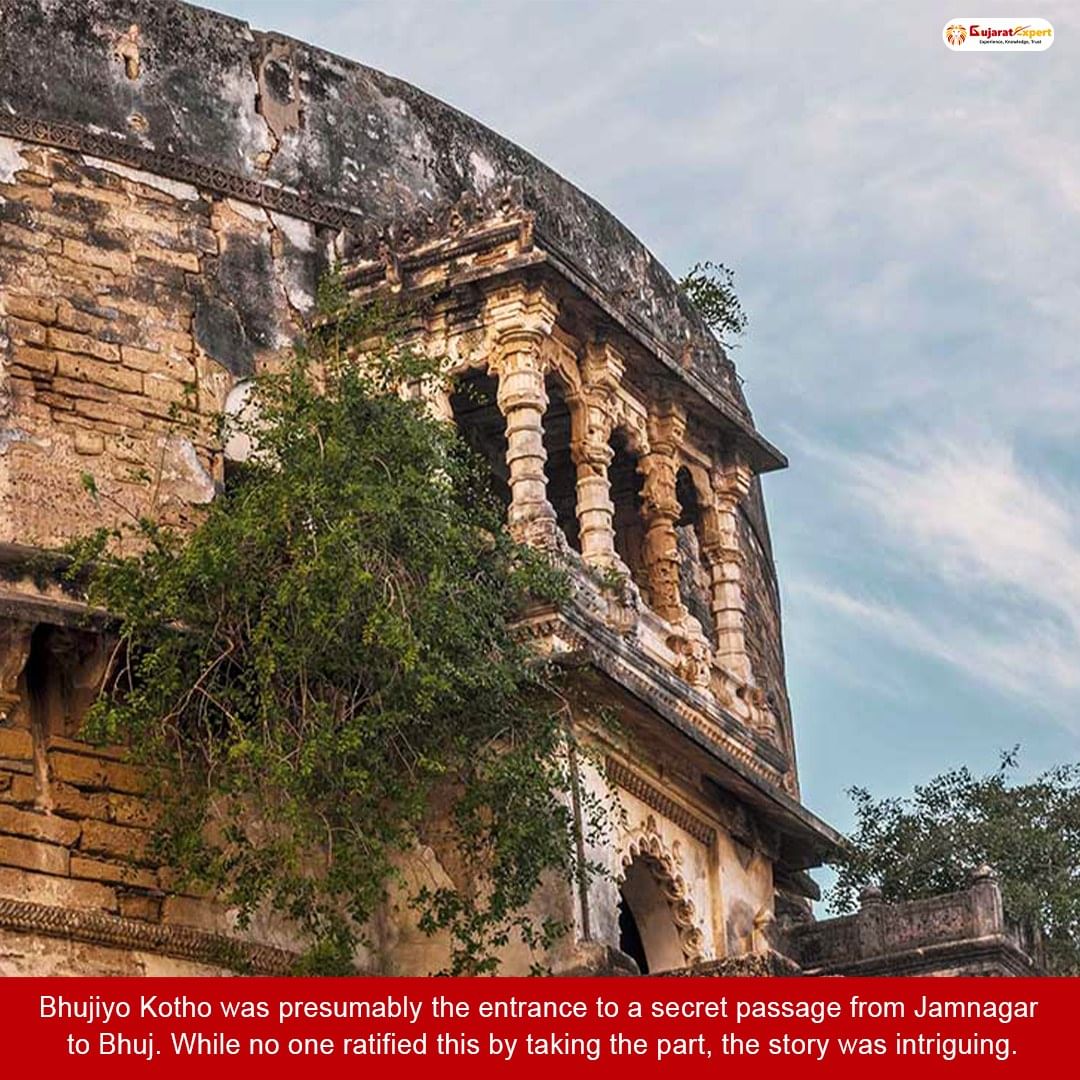
About the location: This impressive yet crumbling tower in Jamnagar overlooks the south side of Ranmal Lake. It is also known as the Bhujiyo Bastion. Restoration work is underway; once completed, visitors will be able to view the city from the top of the tower.
Brief History: It is believed that the king of Jamnagar and Bhuj were brothers who had set up their kingdoms about 300km apart. They even designed the cities in the same fashion. Bhujiyo Kotho was presumably the entrance to a secret passage from Jamnagar to Bhuj. While no one ratified this by taking the part, the story was intriguing.
Best time to visit: The best time to visit is between November and February.
3. Surat CastleSurat
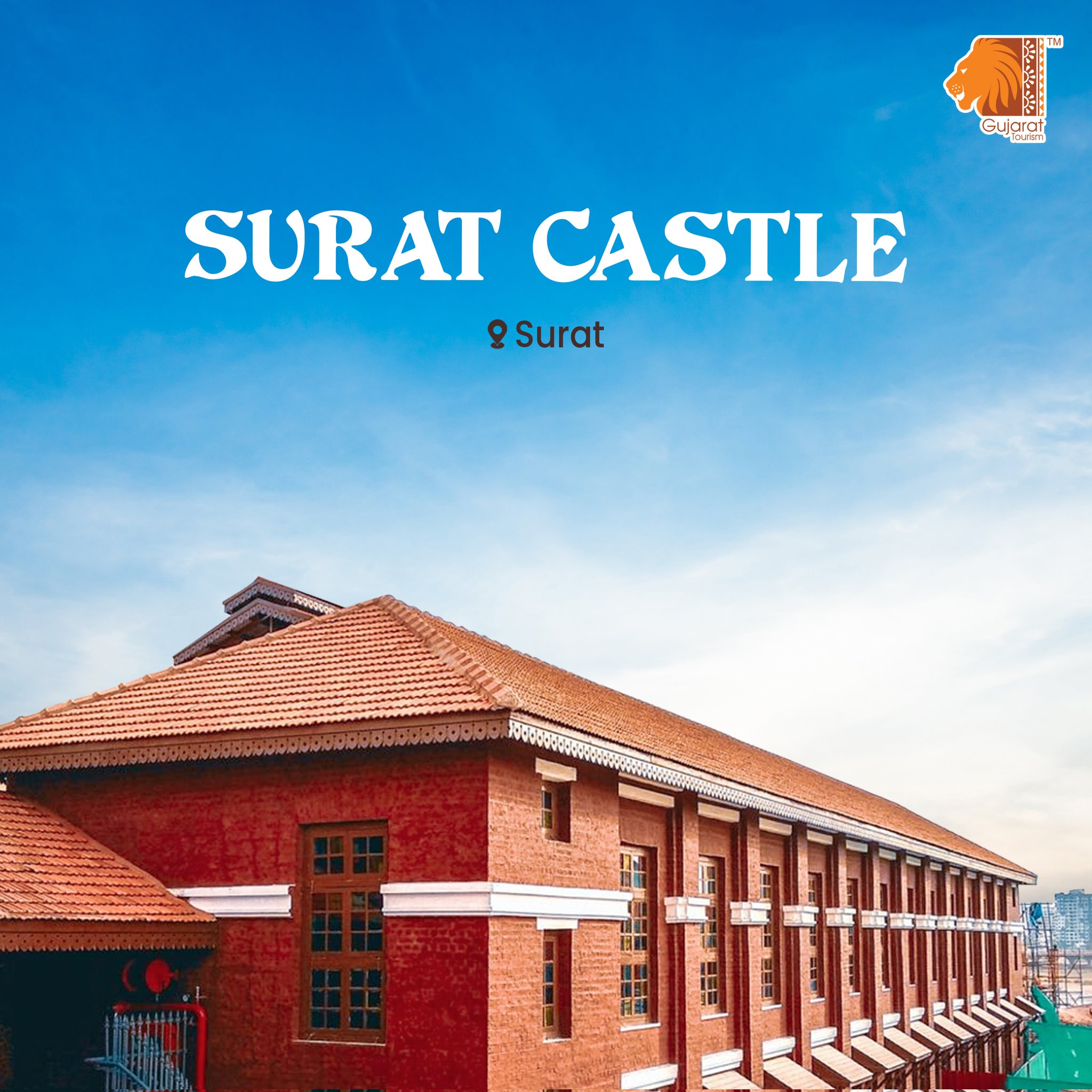
Between 1540 and 1546, Sultan Mahmud III had this castle built with extra strength for protection against Portugese raids. It is now filled with government offices, but you can go up to the top for a marvelous view of the city and Tapi river.
4. Bhadra FortAhmedabad
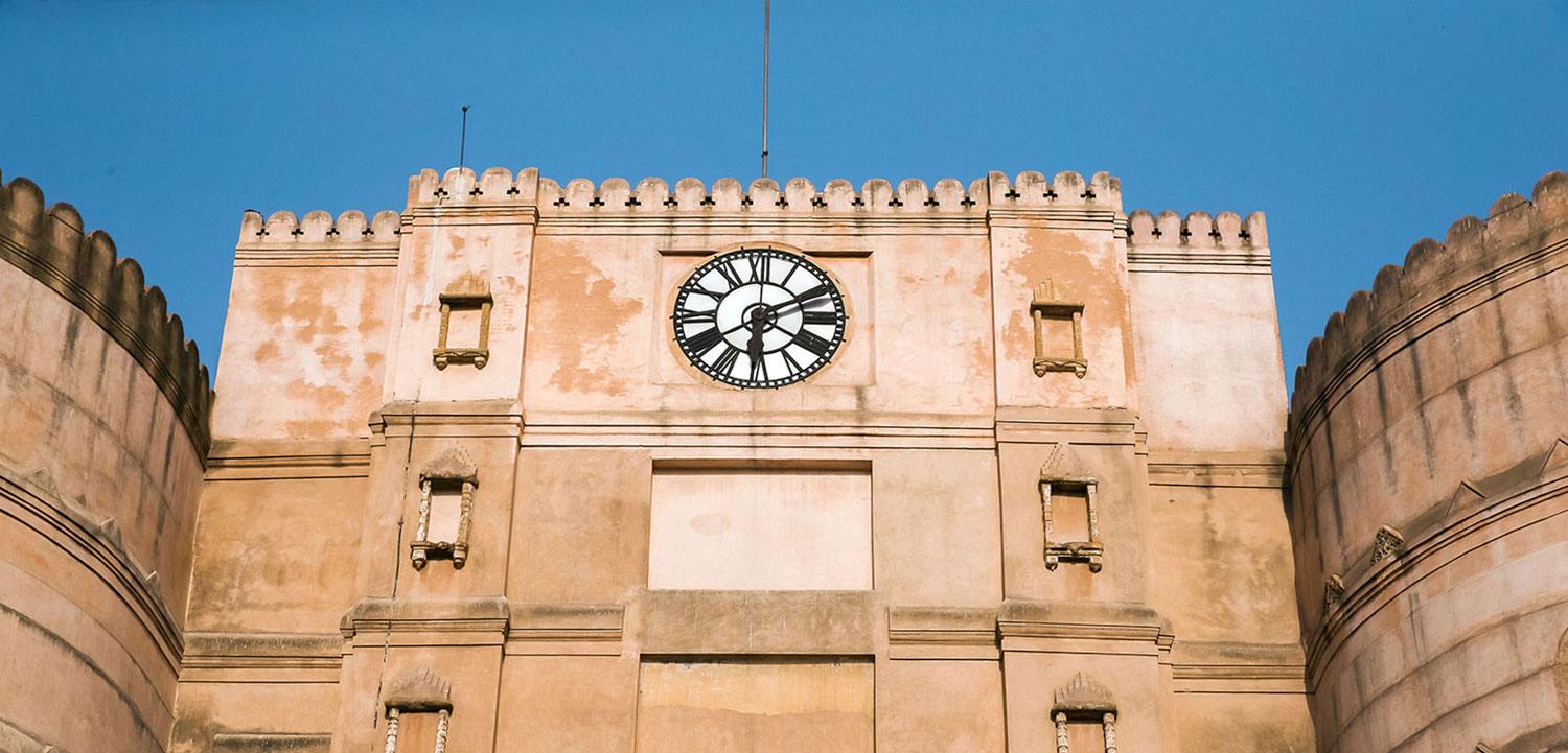
About the location: Climb up the Bhadra Fort and get a bird’s eye view of the old city. Built immediately after the founding of Ahmedabad in 1411, Bhadra Fort now houses government offices and a Kali temple. Its gate formed the eastern entrance of the Ahmedabad citadel, which stretched west to the river. From the roof you can check out the imposing structure and views of the surrounding streets. Between the fort and the Teen Darwaja (Triple Gateway) to its east was the Maidan Shahi (Royal Square), where royal processions and polo games took place.
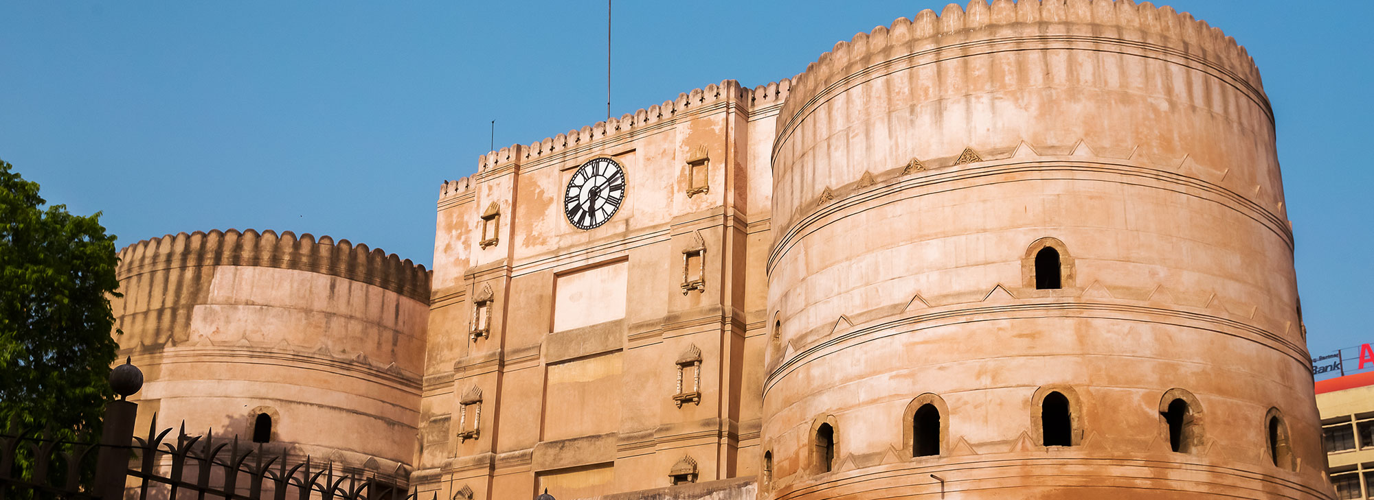
Brief History: Bhadra Fort was built by Ahmed Shah, the founder of the city, in 1411 AD. The fort’s name was taken from the Bhadrakali Temple that stands nearby. The fort was also called Aark fort centuries ago. The British captured the fort in 1817 and used it as a prison until Independence. It was duly renovated in 2014 so that people could get a glimpse of history.
5. Idar FortSabarkantha
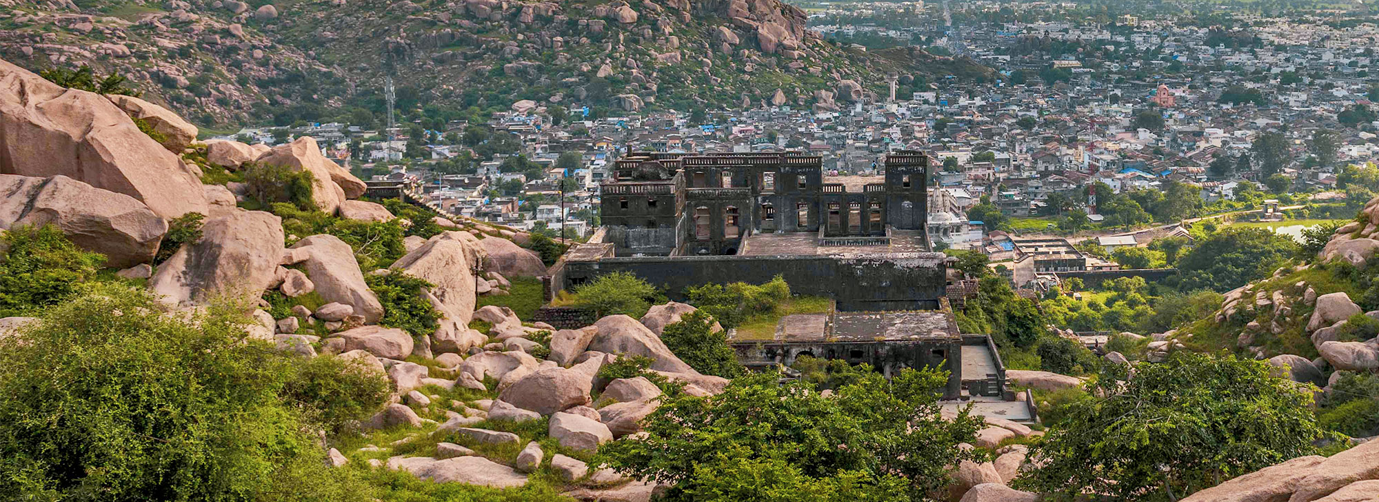
38 km from Vijaynagar, this former princely state lies hugged by the Aravali mountain range, which gave it protection from various attacks in its history. In addition to some of the larger temples, look out for the signs of worship of smaller idols scattered up the hills. Take the climb up the hill itself, winding through the rocks, as a way to share the sacred space in the lives.
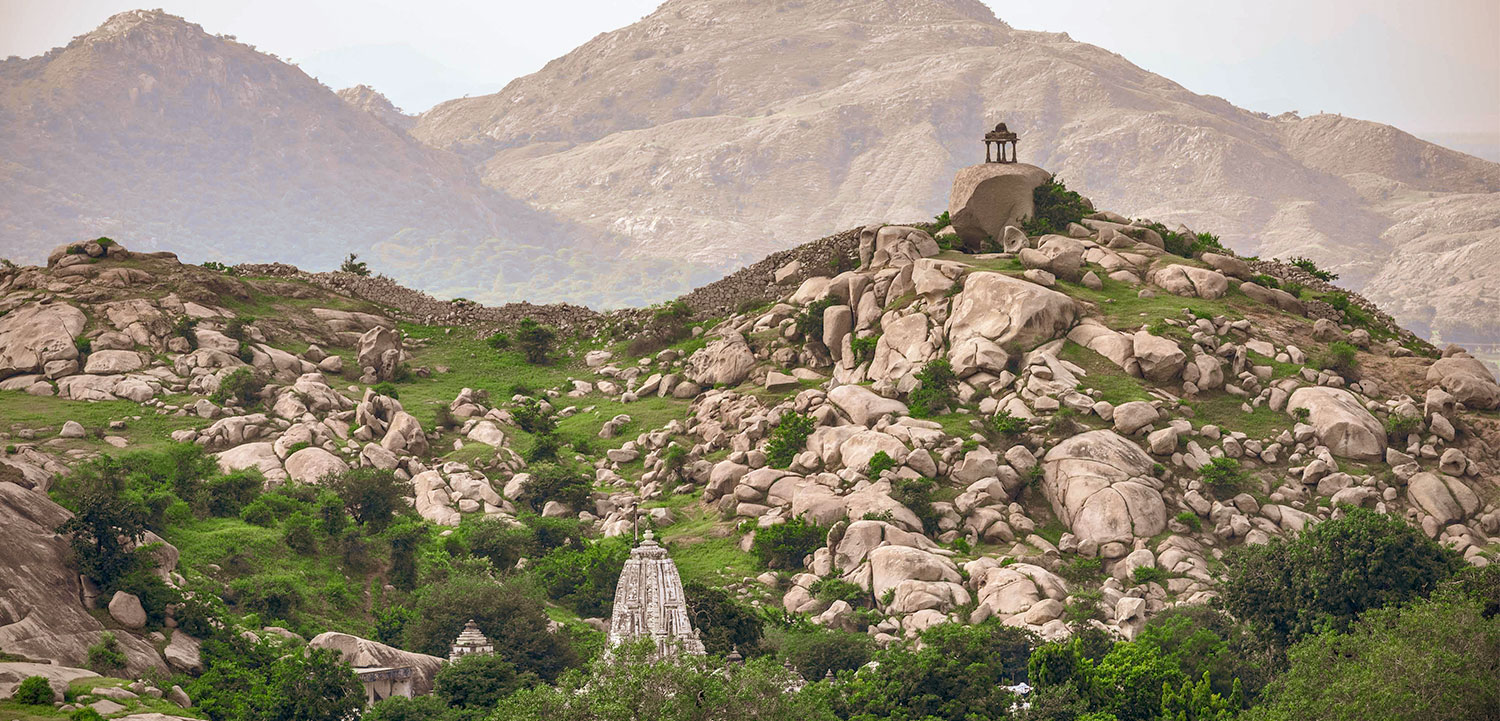
Idar is also a good base from which to get to other sites such as Himatnagar, pilgrimage site Khedbrahma, Shamlaji and Dev ni Mori, the archaeological site of an unearthed Buddhist seminary, stupas, and viharas.
6. Lakhpat FortKutch
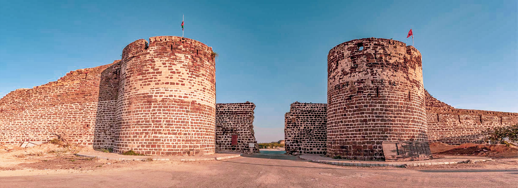
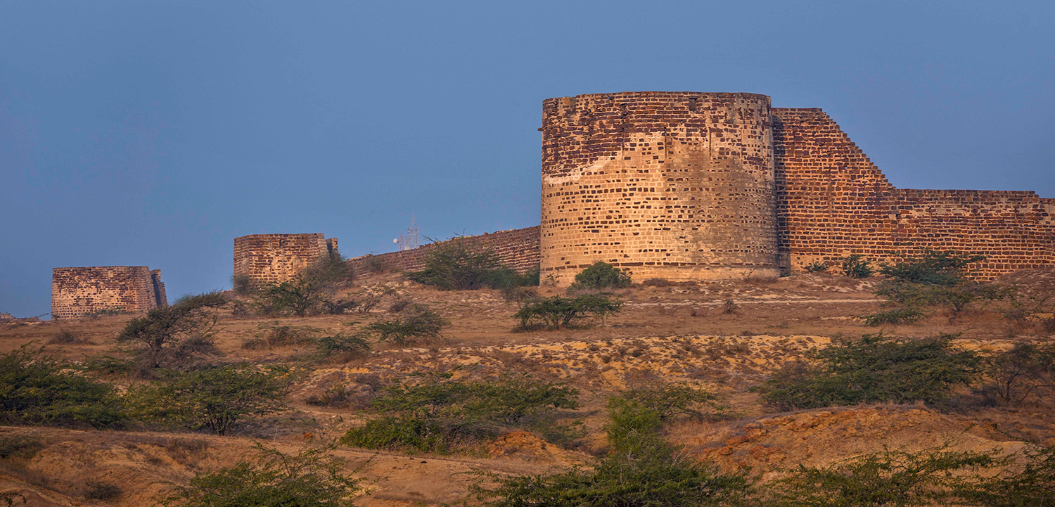
About the location: Only 33 km north of Narayan Sarovar lies the town of Lakhpat, with a walled fort as its main highlight. The town was an important coastal trade node in the 18th century. At the mouth of the Kori creek, the large fort walls still offer testimony to a short but glorious past. One can climb the fort rampart, the only remaining structure of the fort, and look over at the placid sea. This spot is particularly stunning at sunset. Within the fort walls, also lies a 16th century gurdwara. It is believed that Guru Nanak stopped here twice during his second (1506–1513) and fourth (1519–1521) missionary journey called Udasis. The gurdwara is a soothing spot for travellers. The soft hymns play constantly in the background, as travellers visit the ancient Sikh place of worship to see relics like wooden footwear, palkhi (palanquin), manuscripts and markings of two important heads of Udasi sect.
Brief History: The remnants of the Lakhpat fort are reminders of the spot being a thriving trading a spot. More than 200 years old, the ramparts still keep the Arabian Ocean at bay. It is said that the fort is named after Rao Lakha, who ruled in Sindh about the middle of the thirteenth century. It was the 1800s where most political changes happened in this small town, changing the hands of the town from Fateh Muhammad, who enlarged the walls to Mohim Miyam, who was the commander of the fort. It fell to ruins through the century, as trade depleted, and the people in the town migrated to fairer pastures.
